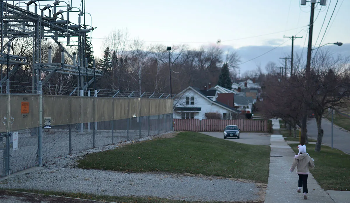
You Are Where You Live
Geographical concepts are important for understanding not only what happened in Flint, but specifically where it happened and why it happened there.

Read Time: 5 minutes
Published:
“You are where you live.” This variation on the old saying is meant to highlight that where you spend your daily life influences your opportunities for healthy living. In light of the many environmental issues surrounding the Flint Water Crisis, and as the world of public health wades deeper into the waters of geographical inquiry, this concept bears extra weight.
Indeed, my involvement in the Flint Water Crisis began because of a lack of analytical and spatial sense about ‘YAWYL’ on the part of state-level officials. As I’ve noted elsewhere, some officials’ eyes were blind to the blood lead issue because of their use of an inappropriate unit of analysis, which led to a partial occlusion of the problem. Our team’s ability to discern the need for better analysis helped bring the state to its knee—though we should have never had to intervene.
A firm grounding in geographical concepts is particularly important for understanding not only what happened in Flint, but specifically where it happened and why it happened there.
In Flint, health disparities exist at multiple geographic levels—not only when compared to other regions, but also when comparing one neighborhood to another—and inquiry must therefore be nested within these contexts. Flint is not unusual in this regard. But like other cities with internal health equity issues, Flint is often maligned in the media because of the many social causes and manifestations of these disparities. Many people are unable to see why things are as they are, and instead focus on the outcomes as the core problem.
We have established that City of Flint residents were disproportionately affected by lead leaching into their drinking water . But their challenges are much broader than lead in water and include all aspects of daily life.
City residents face the decision of sending their children to a struggling public school system or taking extra effort to send them out of district. When compared to the surrounding county, residents in the city have heightened exposure to crime and blight, and diminished opportunities for finding healthy foods or other retail goods. Flint residents also pay higher water rates (in fact, the highest in the country), higher property taxes, and receive poorer public services in return. These problems did not happen overnight; their causes date back decades.
In geographic research, such variables can be pulled together to contextualize what has been referred to as ‘deprivation amplification,’ or the negatively synergistic burden experienced by living in such environments. The role of GIS is essential, because it allows the user to understand spatial clustering and distribution of phenomena above and beyond census estimates of socioeconomic characteristics.
…the state’s actions over the past few decades are akin to a conversation like the following: “Give me your wallet…great, now buy us lunch. What do you mean you can’t afford it? Let’s go to a payday loan facility so you can afford it.”
Subsequent work done by the Hurley/MSU collaborative team along these lines has recently shown that residence time of water in pipes, house age, and neighborhood housing condition are all strongly correlated to those sites where blood lead levels were highest in the immediate aftermath of the water source switch. It implicates a declining infrastructure in the public health problem.
That is, the problem is one of neglect by a departing population and a tendency to abandon our cities . It also reflects on the state of Michigan’s anti-urban bias over many decades. Following annexation attempts by central cities in the 1960s and 1970s, the suburb-friendly state legislature passed laws establishing the right of suburbs to remain separate. More recently, the state has greatly reduced revenue sharing to core areas, and established a draconian emergency manager law that removes democratic control from local governments, allows the state to unilaterally cut expenses, and which has a stipulation preventing the public from conducting a referendum on the law.
To paraphrase our State Senator Jim Ananich at a recent Save MI City event sponsored by the Michigan Municipal League, the state’s actions over the past few decades are akin to a conversation like the following: “Give me your wallet…great, now buy us lunch. What do you mean you can’t afford it? Let’s go to a payday loan facility so you can afford it.”
Such thinking lacks any form of logic, effectively blaming and then punishing the victim for an undeserved assignment of culpability. In this context, it is important for public health and healthcare providers to understand not only the singular context of lead-in-water, but the myriad determinants that roll together to affect health.
All of these elements require an appreciation of the influence not only of the existing built environment on health, but of the structural forces that dictate how our cities will rise or fall.
Flint must be viewed in the context in which it was placed: one in which the state set it up to fail . Culpability should not be misdirected—decades of state policies created the conditions by which such a catastrophe would happen.
Image: Michael Kappel, Flint MI Childrens Museum 366, used under CC BY/cropped from original


